QGIS
Build the project in QGIS with layers, styles and relations.
Open Source · QGIS
QCarta
QGIS map portal and OGC web server.
Turn QGIS projects into secure, interactive web maps while keeping a QGIS-centered publishing workflow. Publish from the QCarta admin interface or the optional QGIS plugin.
QGIS · Maps · Dashboards · GeoStories · WMS · WFS · WMTS
The QGIS plugin is optional. You can publish the same way from the QCarta admin interface.
Build the project in QGIS with layers, styles and relations.
Upload via the QCarta admin, the QGIS plugin, or project files.
Create a QGIS or PostGIS store, then publish the layers you need.
Open the map in the portal and control who can see it.
QCarta is a publishing and portal application for QGIS projects — not a GIS stack installer.
Upload a QGIS project with its raster, vector and static files, then choose the layers to publish.
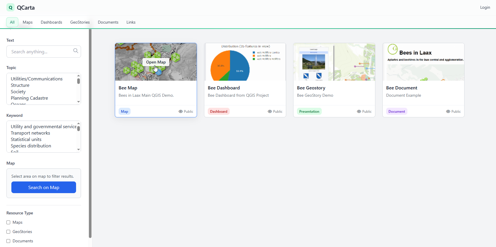
Organize maps, dashboards, GeoStories, documents and links in one portal with search, topics and keywords.
Optional. Configure a QCarta server from QGIS and publish or update projects without leaving the desktop.
QGIS stores for project files and PostGIS stores for local or remote databases, including files such as GeoPackages and shapefiles.
Users and groups control access. Stores and layers use group-level permissions; people see only what they can view.
Publish WMS, WFS and WMTS, publicly or with authentication. MapProxy is used for layer caching.
Build dashboards with maps, charts and tables. Publish GeoStories, SQL reports, filters, Plotly charts, QGIS relations and SQL Workshop queries.
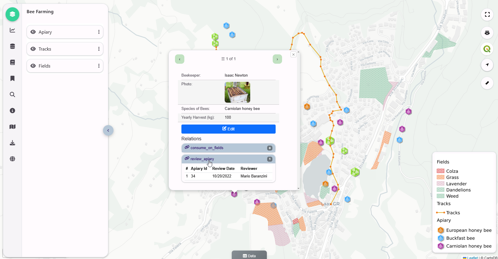
Edit attributes and geometries on the map where enabled, and use QGIS print layouts from published projects.
QGIS-native
Keep the project in QGIS. QCarta publishes it as a web map.
Design layers, symbology and relations in QGIS, then publish through QCarta. The web map exposes the project with portal access, OGC services and the current web tools — it does not claim to reproduce every QGIS desktop feature.
QGIS plugin
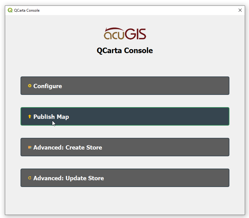
The plugin is the desktop path. It is not required.
Install QCarta Console from the QGIS Plugin Repository, add your server, and publish or update a project. You can do the same work in the QCarta admin interface, including later edits to maps you published from QGIS.
The portal groups published QGIS work into maps and the broader content types QCarta already supports.
Interactive web maps from published QGIS layers, with popups, legends and group-level access.
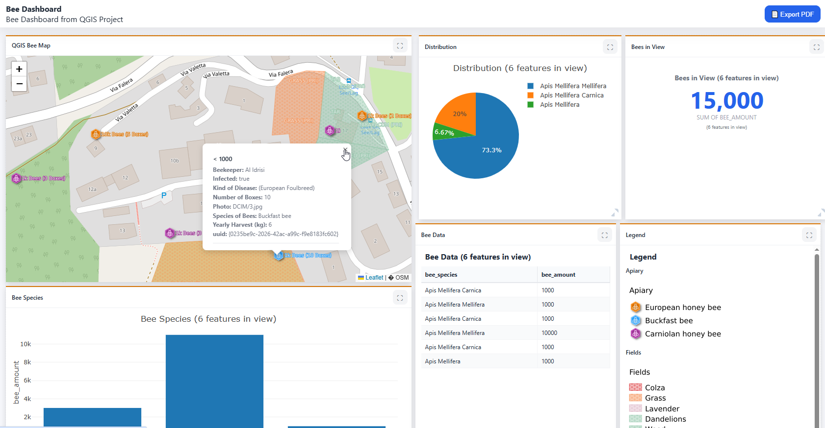
Combine maps, charts, tables and legends in a dashboard layout from the same project data.
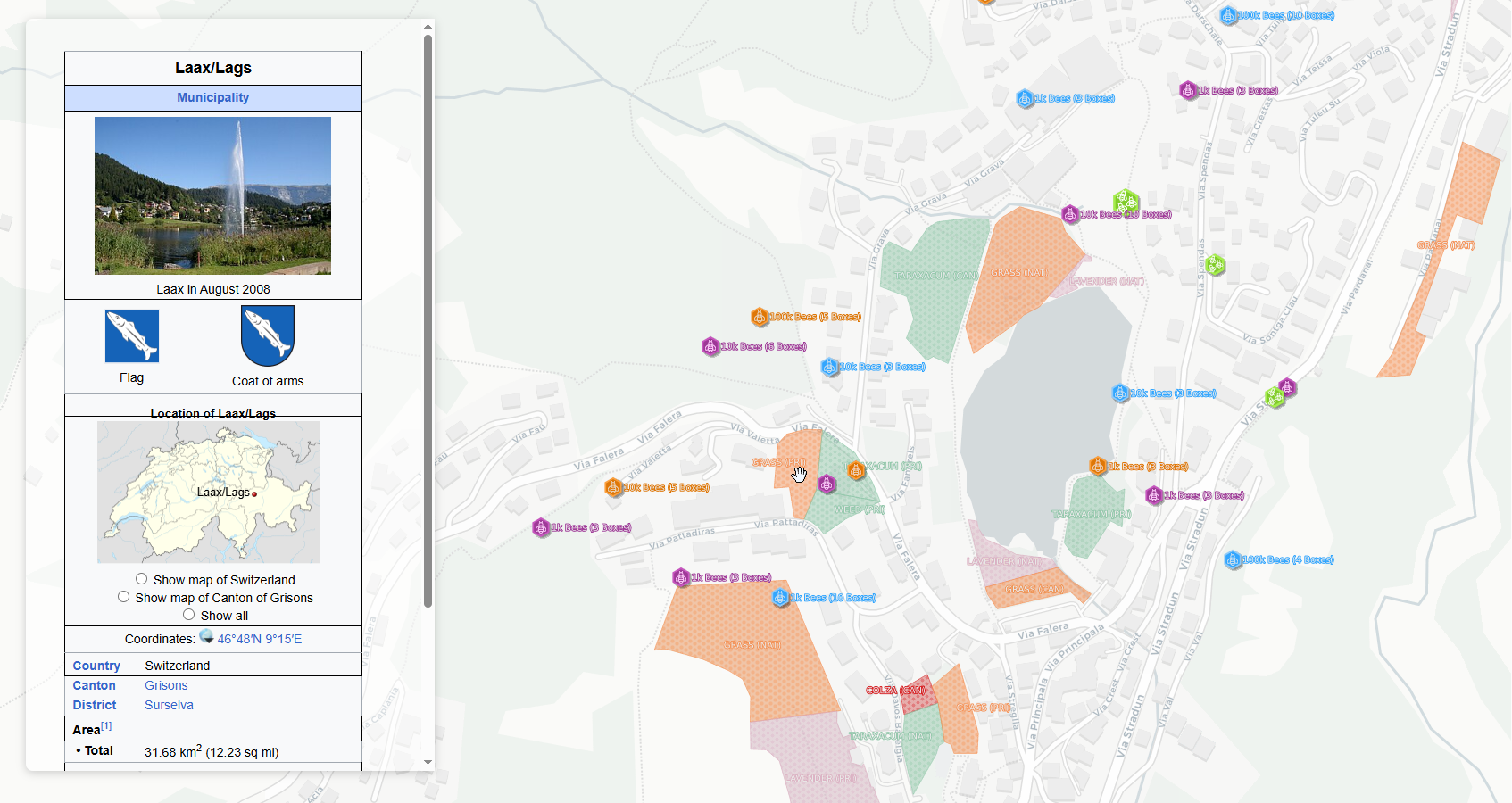
Tell a spatial story by pairing maps with narrative content in a GeoStory.
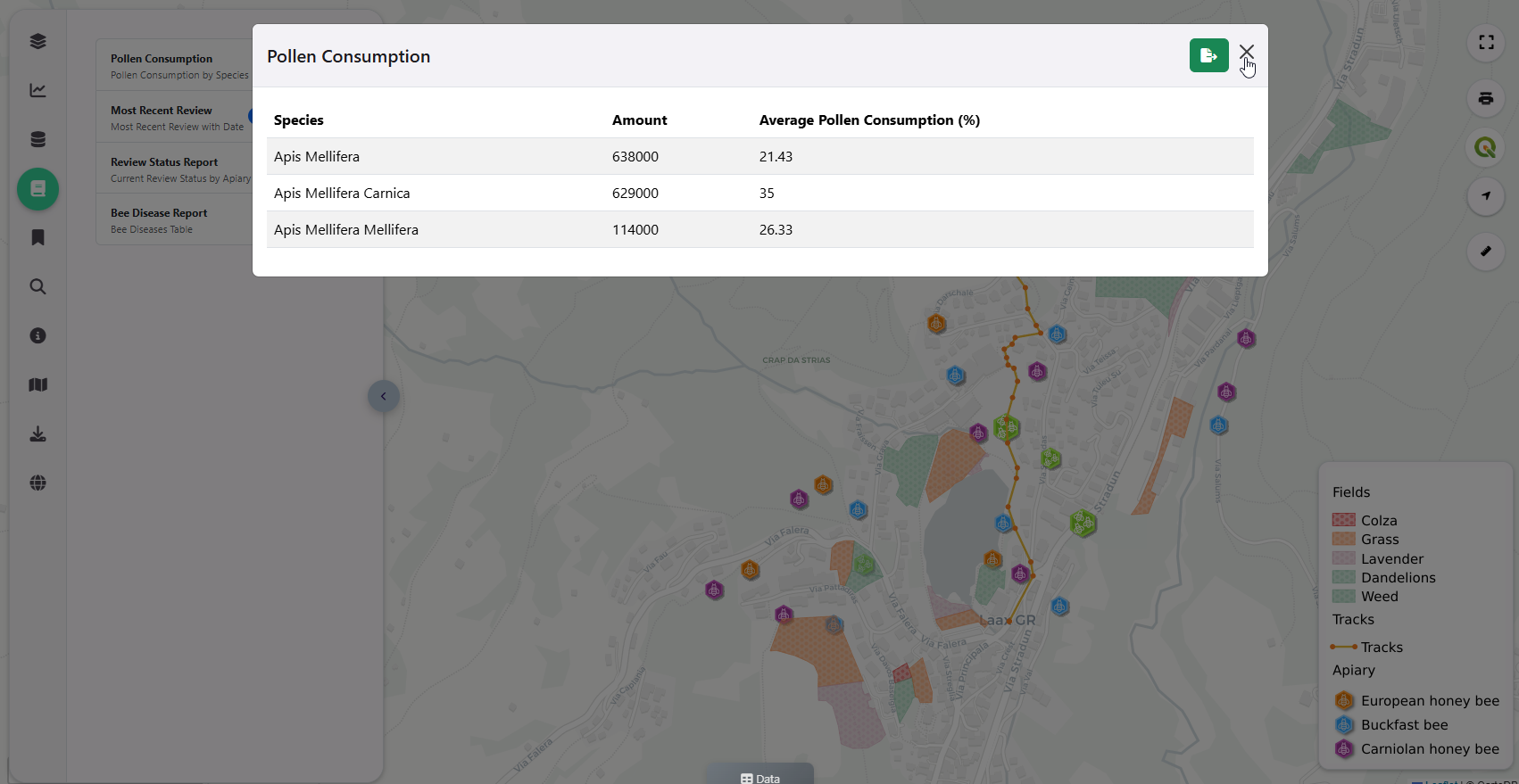
Run SQL reports and filters against published data, including grouped report output.
AcuGIS Open Source
QCarta belongs to the AcuGIS Open Source family. Install it on your own infrastructure, with commercial support available when you need it.
QCarta is free, open-source software. Source and installer are on GitHub.
The current installer targets Ubuntu. Docker is available for evaluation and is not recommended for production.
AcuGIS support is available when you want help deploying or operating QCarta.
Use the current QCarta docs for installation, the plugin and portal features. Get the software from GitHub.
Install QCarta, upload a project from QGIS or the admin interface, and open it as a web map.